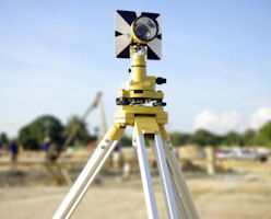
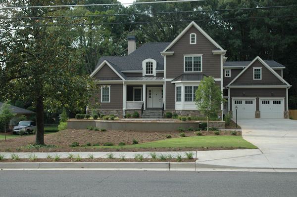
As-Built Surveys
Purpose
An as-built survey drawing is a mapped record of a completed project or development, and is usually required before a Local Authority takes a development in charge.
It will typically include such features as buildings, boundaries, above-ground service features (e.g. ESB minipillars and chambers, telecom chambers, fire hydrants, sluice valves, stopcocks or water meters etc.), kerblines and road gullies, surface water and foul manholes and sewer runs with cover levels, invert levels and pipe sizes all indicated and referenced to the drawing legend.
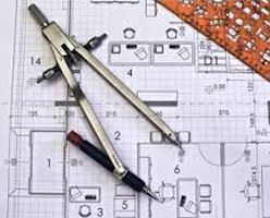
Output
-
2D and 3D Plan Drawings
-
Sections, profiles and volumes
-
Autodesk Civil 3D surfaces
-
MX GENIO and LandXML outputs.
-
3D Modelling
-
3D Animation/Fly-Through Videos
-
3D Visualisation
-
Building Information Modelling (BIM)
Applications
-
Health and Safety benefit – 50% reduction with one site visit.
-
Reduces road closure times.
-
Lower cost as-built and topographic survey method.
-
Improved accuracy and precision reduces the risks associated with project execution.
-
One visit from field to finish.
-
Reduces the costs and downtime associated with construction rework, site revisits and field changes.
-
Enables office fabrication and analysis, as opposed to field.
-
Enables asset collection/condition survey and the ability to identify flat spots.